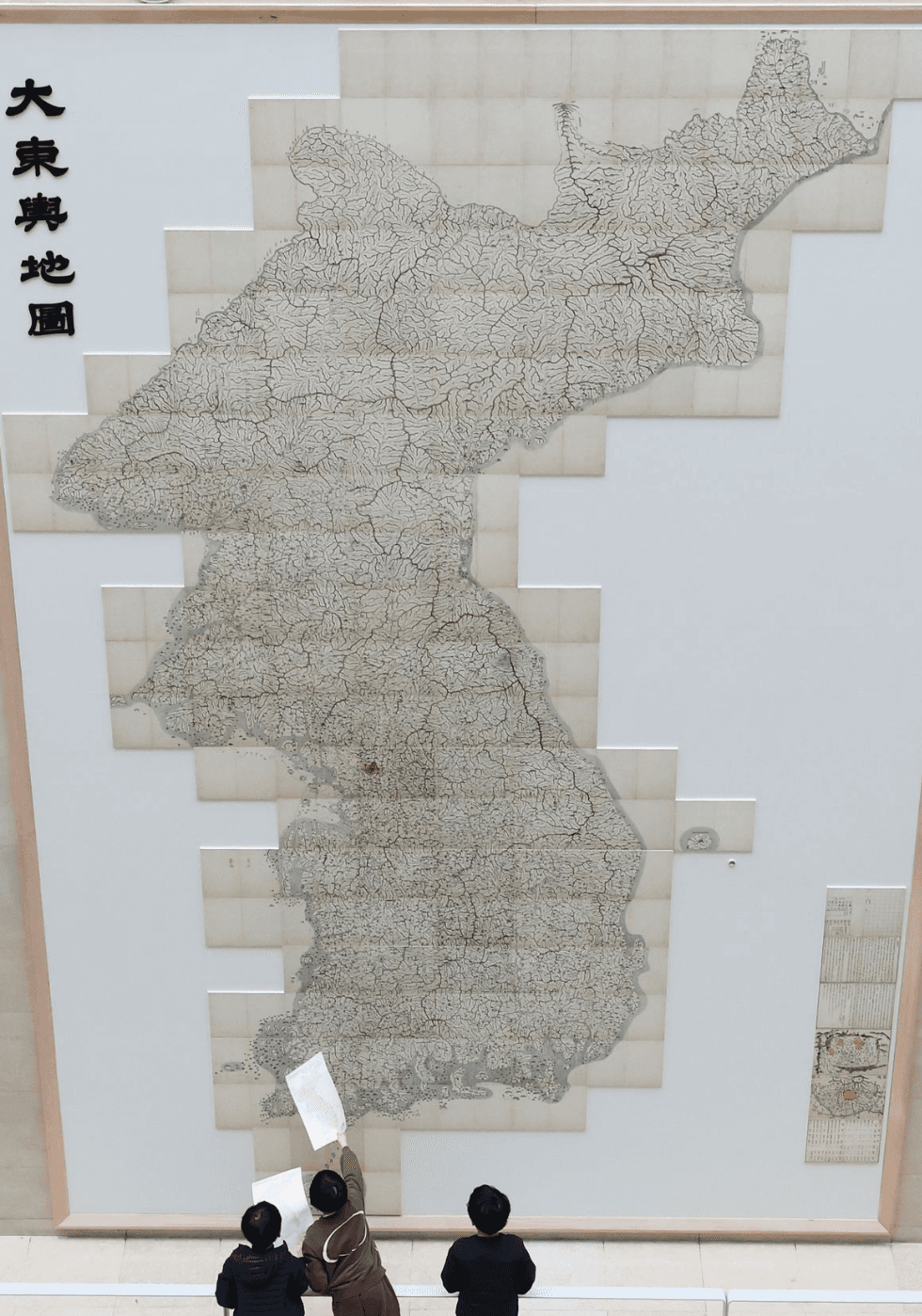
대동여지도 (Daedongyeojido)
Korea's largest and most precise historical map. 6.6 meters tall · Created in 1861 · National Treasure
Photo: Yonhap News, Korea
Sign in to Know Korea
check_circleTrack your reading progress across 190+ guides
check_circleJoin the Community — share experiences and start discussions
check_circleGet faster responses when you Contact Us
check_circlePersonalize your profile — set your photo and nickname
lock
Secured by Google — no passwords stored. Your account is protected by Google's industry-leading security.
By continuing, you agree to our Privacy Policy & Terms of Service